about us
Learn More About Bird Seismic
OUR EQUIPMENT
- Bird Seismic Services is equipped with the tools, knowledge, and acquisition expertise to collect optimal quality data for your project. Customer satisfaction is our goal
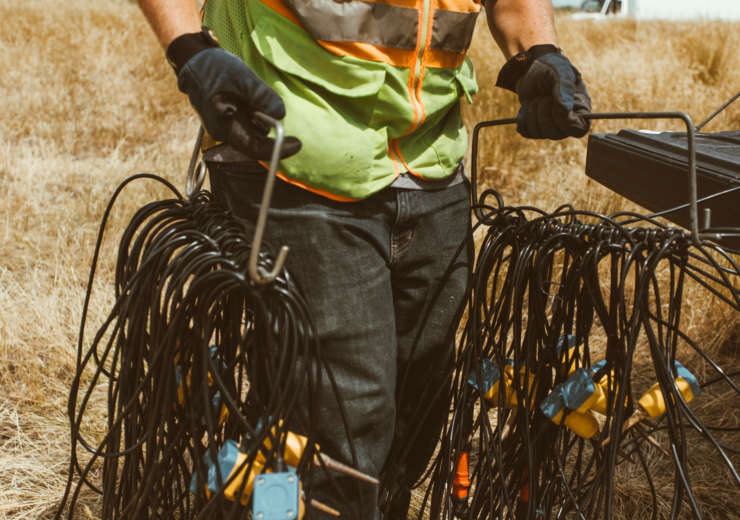
- Cable based and cable less recording systems for flexibility and quick data turnaround
- Our equipment includes
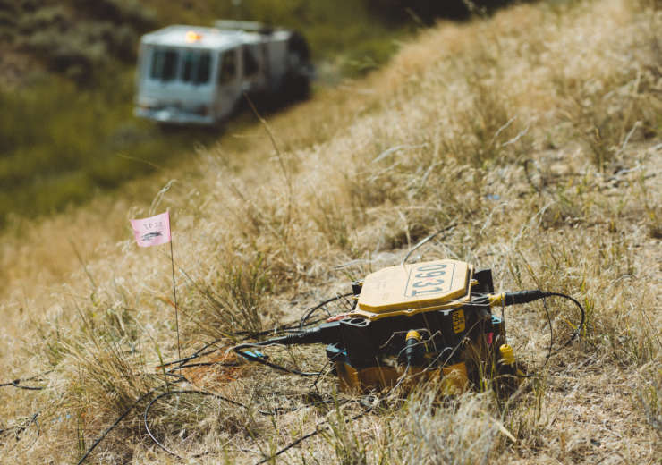
- Iseis cable less recording system, providing real time data and noise monitoring, flexible, and excellent for use in urban and 3D programs
- Seistronix cable based recording system for quick data turnaround
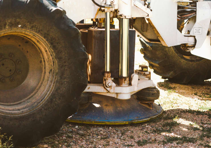
- IVI Envirovibe with Force 3 electronics, environmentally small footprint, wide sweep range (starting as low as 2Hz) and has decimeter accuracy GPS location
- United Service Alliance AF-450 sources, mounted on IH-50 rubber track carrier as well as units mounted on International 4800 4×4 trucks
- 200lb gas spring sources for shallow targets
- 100lb coil spring hammers for the near surface
- We have thousands of geophone strings and single geophones, in various frequencies
- GPS tracking on our field vehicles for HSE
BIRD SEISMIC SERVICES
Quality seismic data acquisition is the first step in determining locations of subsurface features and resources
who we are
Our Story
Bird Seismic has been in business since 1991 and has recorded millions of traces of seismic data in 2D and 3D projects. Our projects have ranged from shallow bedrock imaging to tunnel mapping. From marine seismic for oil and gas in Alaska to mine road engineering in the Caribbean. From geothermal coal seam mapping to alternative energy project. And from petroleum exploration in the US to 3D data acquisition inside working factories and occupied buildings. We have worked in swamps, on coastal areas, in mountains and flat plains. Working in all types of weather and terrain.
They work!
The Staff
Tim Burgess
Cynthia Johnson
Aaron Schultz
Benjamin Hansen
They say
Testimonials
our services
What We Offer

2D and 3D seismic data acquisition in all types of terrain and conditions, shallow and deep targets

Seismic refraction, MASW and SASW for engineering and environmental projects

High resolution surveys for shallow and near surface features (voids, tunnels, fractures and aquifer mapping)
